Русский
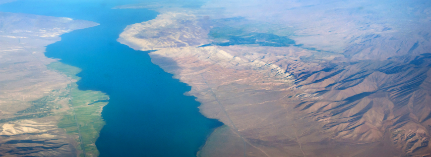
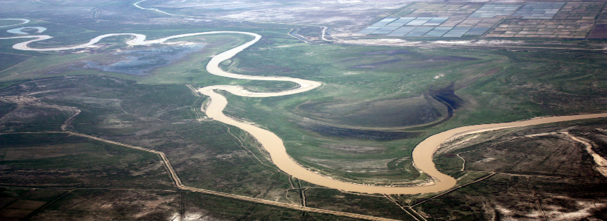
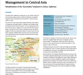
The Isfara River originates in Kyrgyzstan on the northern slopes of the Turkestan Range and flows north into Tajikistan through the Ferghana Valley, towards the Syr Darya River. It measures about 120 km in total. The catchment area covers Batken Oblast (administrative district) in Kyrgyzstan and Sughd Oblast in Tajikistan, and includes Uzbek territories at the tail-end of the basin. The river, historically a tributary of the Syr Darya, merges at its mouth with the Great Fergana Canal. Currently, the canal’s water is exploited almost entirely for irrigation by the local population before it actually reaches the Syr Darya. Seasonal mudflows that result from the annual snowmelt in spring threaten the local population’s livelihood and the operation of infrastructure.
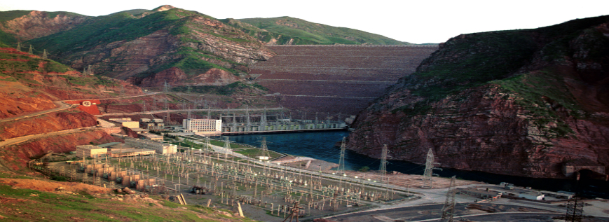
The Isfara headwork ‘Zumratsho’ is located three kilometres above Isfara city. It regulates the supply of irrigation and drinking water for the populations of Isfara city and Lakkon Valley. Furthermore, it distributes water between the Isfara and Konibodom districts. The headwork regulates the intake of water into the bypass canal, which then supplies fields with water for irrigation needs in Lakkon Valley. The headwork controls the entry of silt, stores water for a short period of time and reduces fluctuations in the supply of water to the canal. The Isfara headwork was built in 1960 and initially served 10,000 ha of arable land. Due to constant operation and the long absence of rehabilitation measures, it has significantly deteriorated and currently serves about 8,000 ha of land. Seasonal floods and mudslides filled the headwork structure with soil, stones and gravel, destroying its concrete base and gates. This resulted in a decrease in the headwork’s water intake. Consequently, the amount of water available for irrigation and drinking has gradually fallen. Recently, the headwork’s technical condition was rated as critical. A number of structures were not operational. The lower spillway dam, the concrete lining of the upper and lower sections and the metal parts of the closures required immediate rehabilitation.