Warning: session_start(): open(/home/admin/tmp/sess_hiueb8qmau1sech71nmrd4mmen, O_RDWR) failed: No space left on device (28) in /home/admin/web/waterca.samar.uz/public_html/wp-content/themes/architecture/functions.php on line 19
Warning: session_start(): Failed to read session data: files (path: /home/admin/tmp) in /home/admin/web/waterca.samar.uz/public_html/wp-content/themes/architecture/functions.php on line 19 Basin planning trainings in the Isfara river basin
Basin planning trainings in the Isfara river basin
Среда Март 27th, 2013
Posted in Без рубрики
BATKEN – Today members of working group on basin planning for the Isfara river basin, representatives of water
management, nature protection, sanitary and epidemiology, economy sectors as well as local administration and
water users associations meet to discuss and find solutions to improve water management for the Isfara river
basin. The training is conducted in the framework of “Water Management and Basin Organisations in Central Asia
(WMBOCA)” project funded by the European Union and implemented by Deutsche Gesellschaft für Internationale Zusammenarbeit (GIZ) GmbH, Transboundary Water Management in Central Asia Programme.
It’s a second training on basin planning for the Isfara river basin: series of these capacity building trainings are
aimed at the development of the basin plan for the Isfara river. The basin planning includes various aspects
ranging from identification of the main problems and demands of a river basin to involvement of all stakeholders
into the planning process. Besides of theoretical knowledge, the participants also have a chance to use practically
the acquired skills.
Progress is already visible: expert on climate change, Head of Kyrgyz Hydromet forecast service, Tatiana
Chernikova and GIS cartographer, Olga Matushkina, Head of Irrigation Institute GIS laboratory have presented
results of their work at current stage. Ms. Chernikova works on the climate analysis, i.e. hydrometeorological data
from daily monitoring in Isfara river basin is analysed statistically, so the stakeholders can have general picture on
the climate tendencies in the basin. Ms. Matushkina, Head of Irrigation Institute GIS laboratory, works on the Isfara
river basin map, which is being produced using GIS technology.
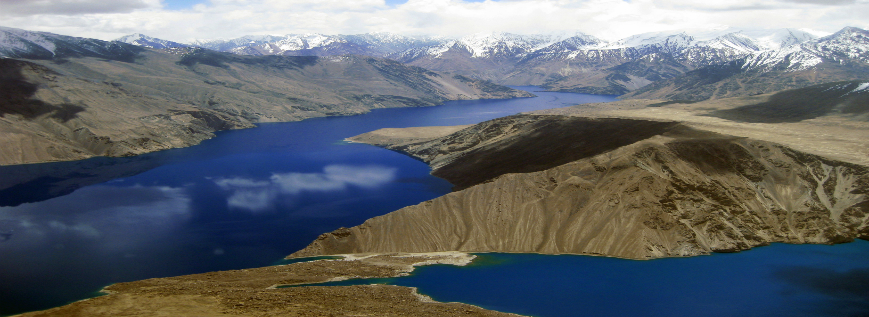
“I’ve been working on the map for the Isfara river basin, which shows both land and water resources as well as
zones of potential floods and mudflows. The map is in the process of development and current version is
presented and discussed during the training. But we are already getting closer to the final version!” – Olga
Matushkina, Head of Irrigation Institute GIS laboratory, said.
Having the map which indicates available lands, water and dangerous zones, will allow people living in Isfara river
basin to better plan their agricultural activities, irrigation, construction of housing and many other sides of the water
management process in this basin.
Series of trainings for working groups on basin planning have been conducted for Kyrgyz and Tajik sides of the
Isfara river basin since the end of 2012 and in fall 2013 the Basin plan for the Isfara river is expected to be drafted
and handed over to the water management agencies of Kyrgyz and Tajik sides of the basin.
“Water Management and Basin Organisations in Central Asia (WMBOCA)” is funded by the European Union and
implemented by Deutsche Gesellschaft für Internationale Zusammenarbeit (GIZ) GmbH acting in partnership with
the Regional Environmental Centre for Central Asia (CAREC). Budget of WMBOCA consists of approximately
€2 million provided by the European Union and approximately €0.5 million provided by the German Federal
Foreign office.
[button link=»http://waterca.samar.uz/wp-content/uploads/sites/4/2014/07/2013-03-27_PR_Basin_Planning_Training_Batken_KG_WMBOCA_ENG.pdf» type=»icon»]Download PDF Publication[/button]

 English
 BATKEN – Today members of working group on basin planning for the Isfara river basin, representatives of water